Calculates for each cell the number of passages of a random-walk or randomised shortest paths with given origin(s) and destination(s). Either the total or the net number of passages can be calculated. In the case of multiple origins or destinations, each receives equal weight.
passage(x, origin, goal, theta, ...)Arguments
- x
Object of class
Transition*- origin
SpatialPoints, matrix or numeric object with coordinates or RasterLayer object with origin cells set to TRUE- goal
SpatialPoints, matrix or numeric object with coordinates or RasterLayer object with origin cells set to TRUE- theta
If zero or missing, a random walk results. If a numeric value 0 < theta < 20 is given, randomised shortest paths are calculated; theta is the degree from which the path randomly deviates from the shortest path
- ...
Additional arguments: totalNet ("total" or "net"), and output ("RasterLayer" or "Transition")
Value
RasterLayer or Transition object, depending on the output argument
Details
The net number of passages between i and j is defined as: abs( passages from i to j - passages from j to i ).
Defaults for additional argument totalNet is "net"
and for output it is "RasterLayer".
Random walk requires a symmetric transition matrix.
References
McRae B.H., B.G. Dickson, and T. Keitt. 2008. Using circuit theory to model connectivity in ecology, evolution, and conservation. Ecology 89:2712-2724.
Saerens M., L. Yen, F. Fouss, and Y. Achbany. 2009. Randomized shortest-path problems: two related models. Neural Computation, 21(8):2363-2404.
See also
Examples
#create a new raster and set all its values to unity.
raster <- raster(nrows=18, ncols=36)
raster <- setValues(raster,rep(1,ncell(raster)))
#create a Transition object from the raster
tr <- transition(raster,mean,4)
#> The extent and CRS indicate this raster is a global lat/lon raster. This means that transitions going off of the East or West edges will 'wrap' to the opposite edge.
#> Global lat/lon rasters are not supported under new optimizations for 4 and 8 directions with custom transition functions. Falling back to old method.
trC <- geoCorrection(tr, type="c", scl=TRUE)
trR <- geoCorrection(tr, type="r", scl=TRUE)
#create two coordinates
sP1 <- SpatialPoints(cbind(-105,55))
sP2 <- SpatialPoints(cbind(105,-55))
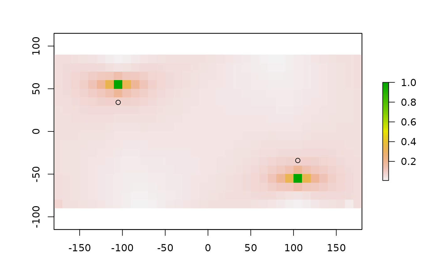
#randomised shortest paths with theta = 2
rSPraster <- passage(trC, sP1, sP2, 2)
plot(rSPraster)
points(sP1)
points(sP2)
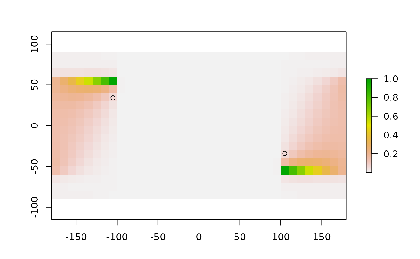 #randomised shortest paths with theta = 0.05
rSPraster <- passage(trC, sP1, sP2, 0.05)
plot(rSPraster)
points(sP1)
points(sP2)
#randomised shortest paths with theta = 0.05
rSPraster <- passage(trC, sP1, sP2, 0.05)
plot(rSPraster)
points(sP1)
points(sP2)
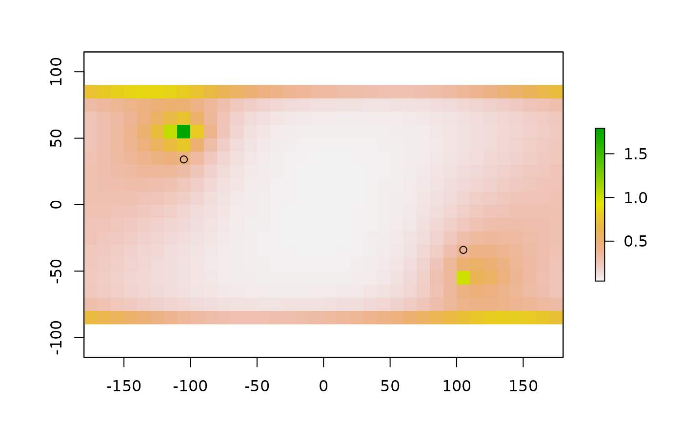
 #randomised shortest paths with theta = 0.05
#and total
rSPraster <- passage(trC, sP1, sP2, 0.05, totalNet = "total")
plot(rSPraster)
points(sP1)
points(sP2)
#randomised shortest paths with theta = 0.05
#and total
rSPraster <- passage(trC, sP1, sP2, 0.05, totalNet = "total")
plot(rSPraster)
points(sP1)
points(sP2)
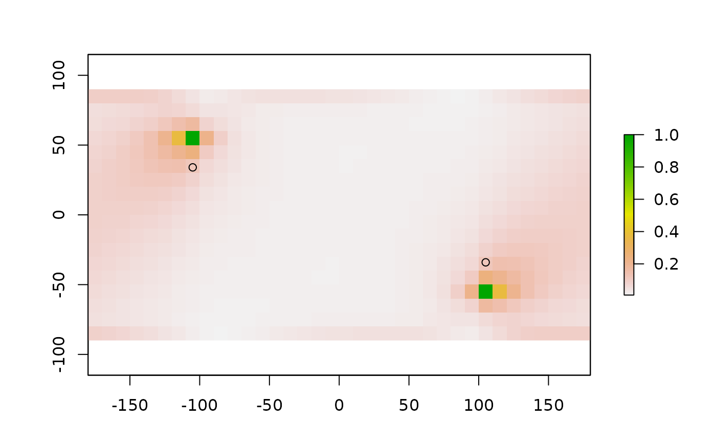
 #random walk
rwraster <- passage(trR, sP1, sP2)
plot(rwraster)
points(sP1)
points(sP2)
#random walk
rwraster <- passage(trR, sP1, sP2)
plot(rwraster)
points(sP1)
points(sP2)