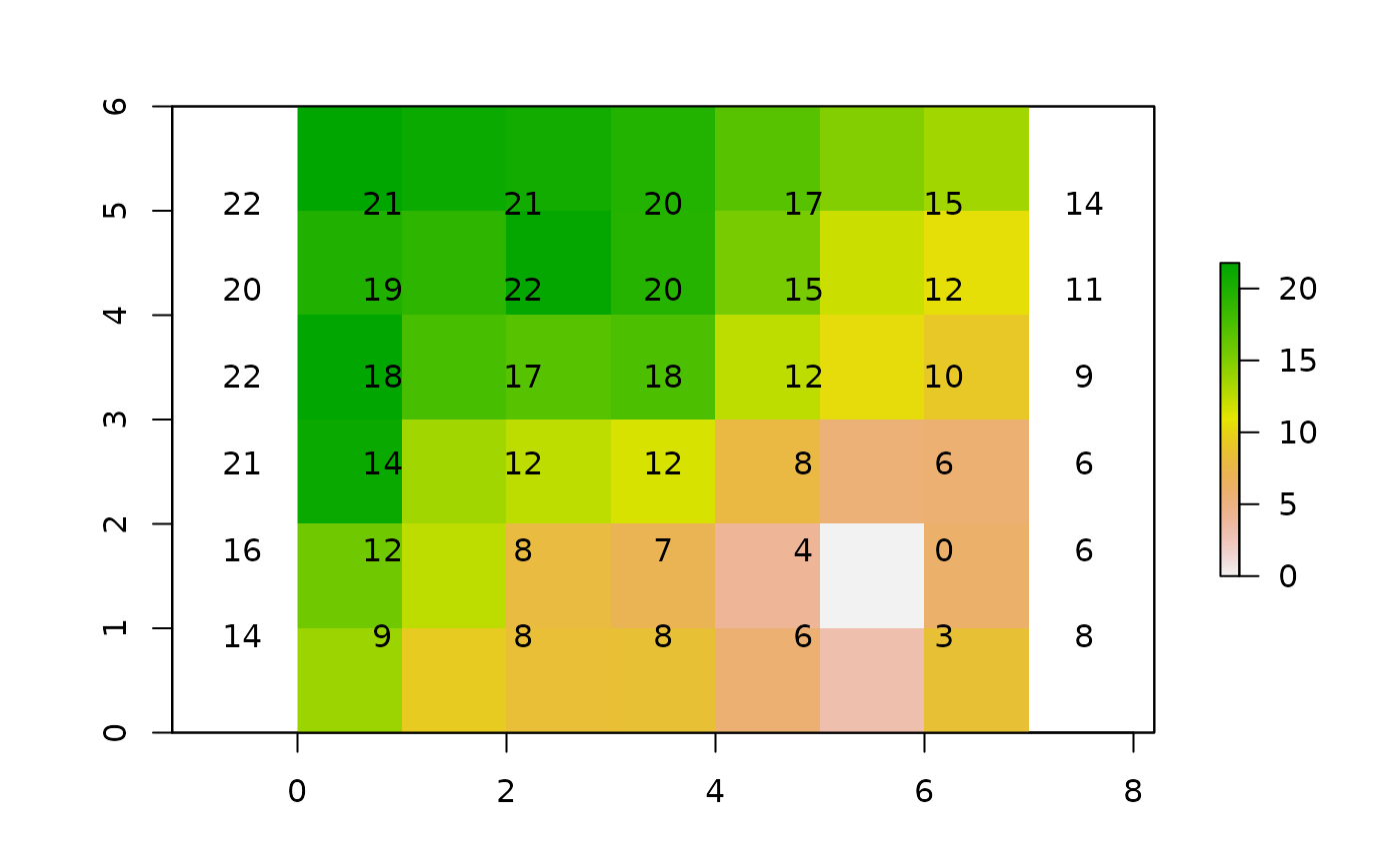
Calculates the accumulated cost surface from one or more origins.
accCost(x, fromCoords)Arguments
- x
object of class
TransitionLayer- fromCoords
origin point locations (SpatialPoints, matrix or numeric class)
Value
a RasterLayer object
Details
If more than one coordinate is supplied in fromCoords, the function calculates the minimum least-cost distance from any origin point.
The function uses Dijkstra's algorithm (as implemented in the igraph package).
References
E.W. Dijkstra. 1959. A note on two problems in connexion with graphs. Numerische Mathematik 1, 269 - 271.
See also
Examples
library("raster")
# example equivalent to that in the documentation on r.cost in GRASS
r <- raster(nrows=6, ncols=7,
            xmn=0, xmx=7,
            ymn=0, ymx=6,
            crs="+proj=utm +units=m")

r[] <- c(2, 2, 1, 1, 5, 5, 5,
         2, 2, 8, 8, 5, 2, 1,
         7, 1, 1, 8, 2, 2, 2,
         8, 7, 8, 8, 8, 8, 5,
         8, 8, 1, 1, 5, 3, 9,
         8, 1, 1, 2, 5, 3, 9)

# 1/mean: reciprocal to get permeability
tr <- transition(r, function(x) 1/mean(x), 8)
tr <- geoCorrection(tr)

c1 <- c(5.5,1.5)
c2 <- c(1.5,5.5)

A <- accCost(tr, c1)
plot(A)
text(A)
